
Hilo Town
Historic, tropical and unmistakably local, Hilo is Hawaii Island's largest town and its county seat.
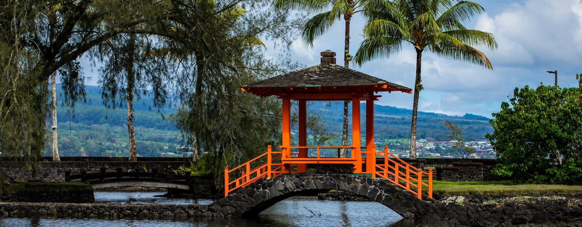
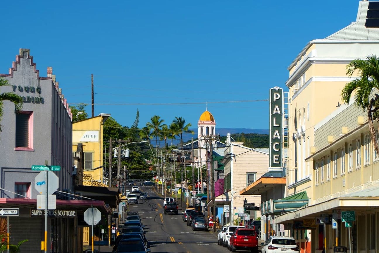
Set along crescent-shaped Hilo Bay on the island's lush windward coast, Hilo is the commercial and cultural center of East Hawaii. Downtown grew from its history as a Hawaiian population center, port town and later the hub of the island's sugar industry, and today its historic buildings are home to restaurants, galleries, shops and the popular Hilo Farmers Market. Hilo's abundant rainfall creates the tropical landscape the area is known for, with enormous banyan trees, gardens, waterfalls and views toward Mauna Kea forming the backdrop to one of Hawaii's most distinctive old towns. Hilo also has a long Hawaiian history and was an important center for ruling chiefs well before Western contact.

Waiakea
One of Hilo's most established residential areas, stretching from the bay toward the slopes above town.
Waiakea covers a broad section of Hilo, with neighborhoods ranging from convenient in-town homes to larger residential properties as the land rises mauka. Its location puts residents close to schools, shopping, the University of Hawaii at Hilo, medical services and the everyday conveniences of town, while upper elevations offer cooler temperatures and, in some locations, ocean views. Historically, Waiakea was a significant Hawaiian land division with extensive fishponds and waterways along Hilo Bay, connecting the area's inland resources with the sea.
Keaukaha
A coastal Hilo community where Hawaiian history, lava shoreline and Hilo Bay come together.
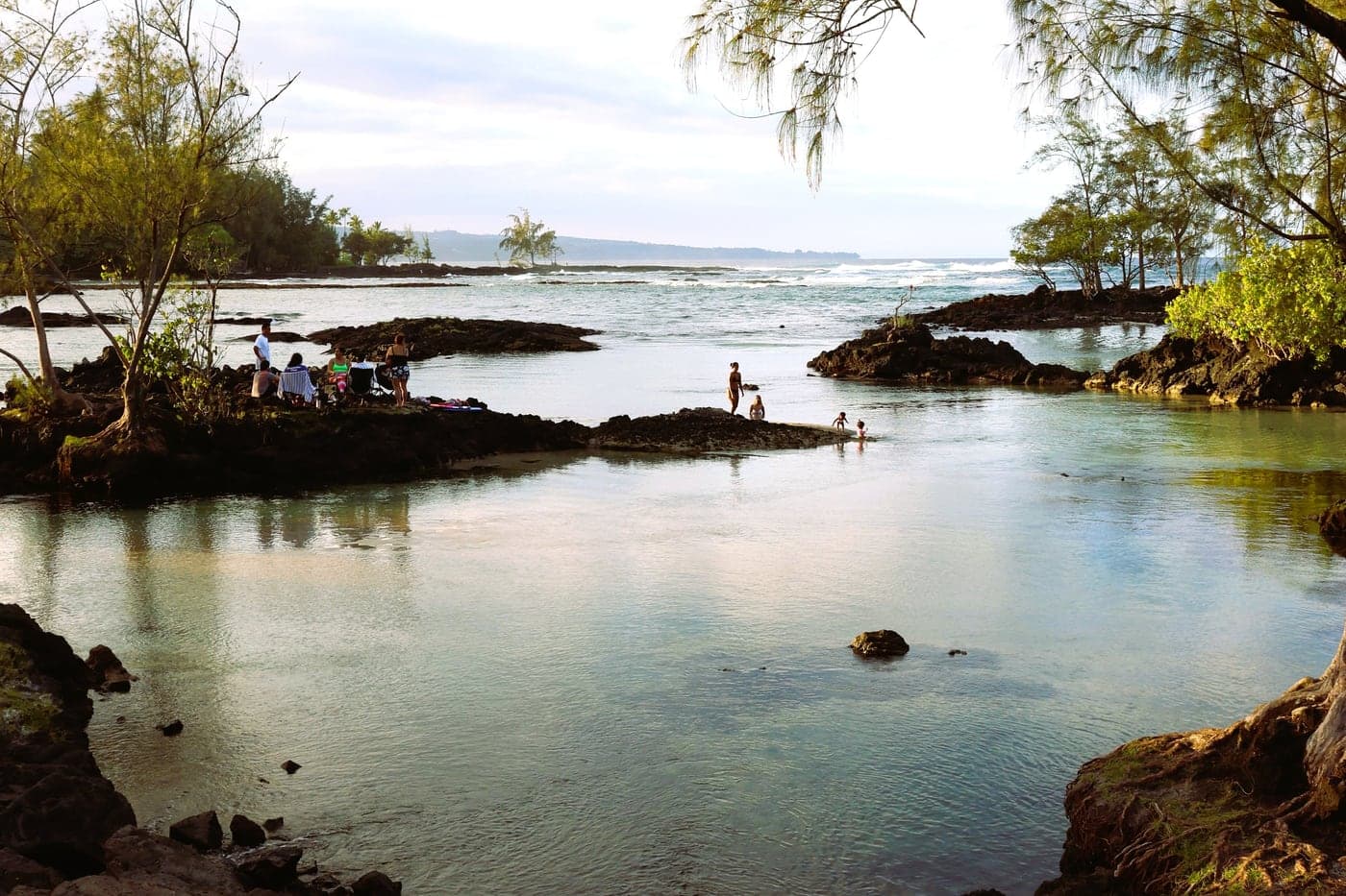
Keaukaha follows the shoreline east of Hilo and is known for its rugged lava coast, spring-fed swimming areas, fishponds and strong Native Hawaiian community. The area includes some of Hilo's best-known shoreline recreation, including Richardson Ocean Park, Onekahakaha and the beaches and coves extending toward Leleiwi. Keaukaha lies within the traditional Waiakea ahupua'a and has deep cultural ties to Hilo's coastal waters, fishing traditions and historic fishponds; its name has been translated as "the passing current."
Kaumana
Cooler, greener and elevated above Hilo, Kaumana climbs the slopes of Mauna Loa.
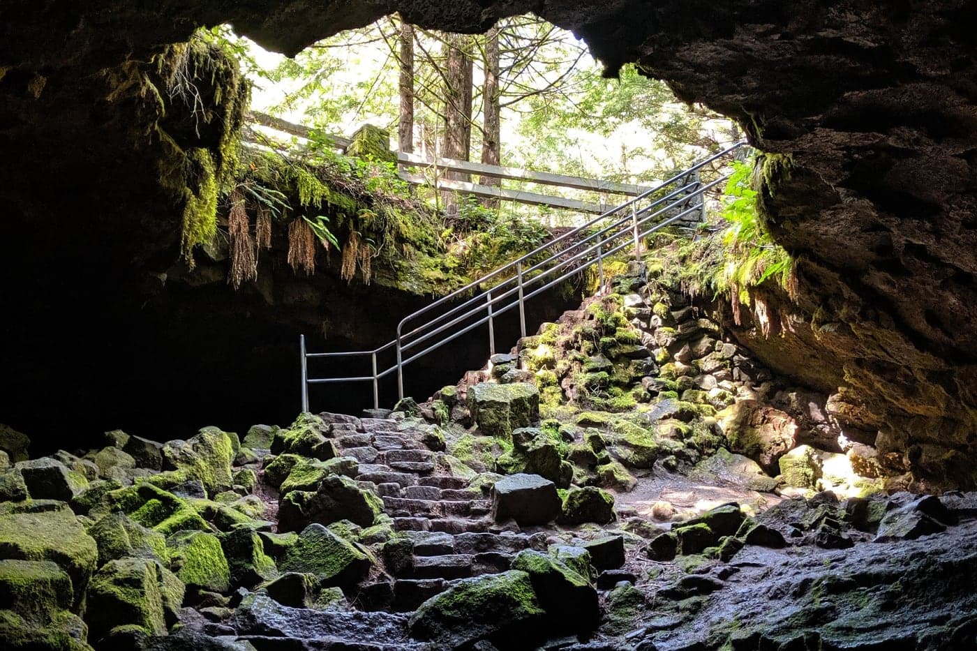
Beginning just above central Hilo, Kaumana rises mauka into a noticeably cooler environment where residential neighborhoods gradually give way to larger properties, forest and agricultural land. The higher elevation can provide sweeping views across Hilo Bay and the coastline, while the area's frequent rain supports dense tropical vegetation. Kaumana is also closely connected to Hilo's volcanic landscape, most visibly at Kaumana Caves, where visitors can enter part of the lava-tube system created by Mauna Loa's 1881 eruption.
Wainaku
An old plantation community overlooking Hilo Bay, just north of downtown.
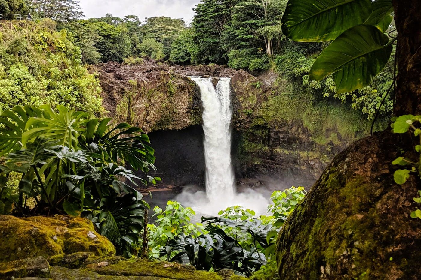
Wainaku sits immediately north of central Hilo, where the terrain begins its transition toward the dramatic gulches and green coastline of Hamakua. Once closely tied to the sugar industry, the area retains a mixture of older plantation-era homes, established neighborhoods and hillside properties, with ocean and Hilo Bay views from many elevated locations. Its location offers quick access to downtown Hilo while still feeling removed from the commercial center, and the surrounding streams, gulches and lush vegetation provide an early glimpse of the landscape that defines the Hamakua Coast farther north.
Keaau
A growing residential and commercial community connecting Hilo with the districts of Puna.
Located about eight miles south of Hilo, Keaau serves as an important gateway between Hilo and the communities of Puna. Once closely tied to the island's sugar industry, the area today blends established neighborhoods, newer homes, small farms and larger rural properties amid a lush tropical landscape. Keaau has developed into a convenient commercial center of its own while remaining within easy reach of Hilo's employment, schools, medical facilities and services, making it popular with buyers looking for more space outside of town. Keaau is also home to Kamehameha School's newest K-12 campus.