
Kohala Ranch
Gated, over 3,500 acres above Kawaihae, running from near sea level to about 3,000 feet across three neighborhoods.
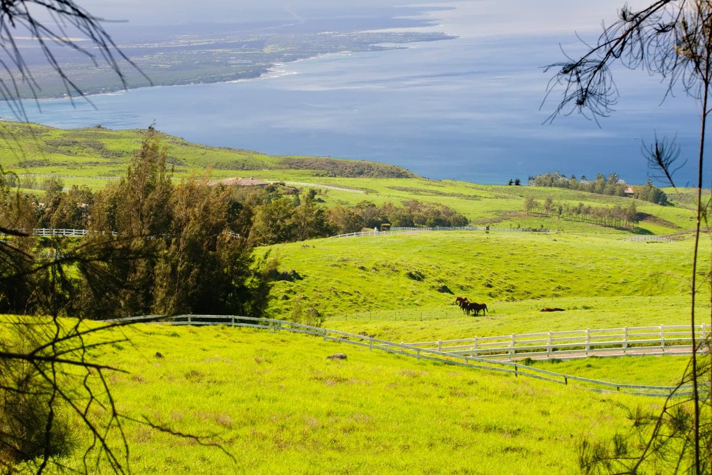
Kohala Ranch is the largest of the gated communities on this stretch, more than 3,500 acres of rolling pasture running from near sea level to about 3,000 feet just north of Kawaihae. Because it climbs so far it is really three places: The Heathers between roughly 500 and 1,500 feet, warm with a steady ocean breeze; The Meadows between about 1,600 and 2,000 feet, where lots run to three and five acres with both coast and mountain views; and The Summit higher again, cooler and greener. Cattle still graze openly across much of it, which is unusual for any subdivision and gives the roads a genuinely rural feel. Utilities are underground and water comes from a private company rather than the county system. Views run down the length of the coast and across the channel to Maui on clear days. Buyers here choose their elevation the way they would choose a climate, because within this single gate the difference between the bottom and the top is real.
Kohala Estates
Ungated ocean-view acreage near Kohala Ranch. Generally larger lots and a lower price of entry than the gated subdivisions beside it.
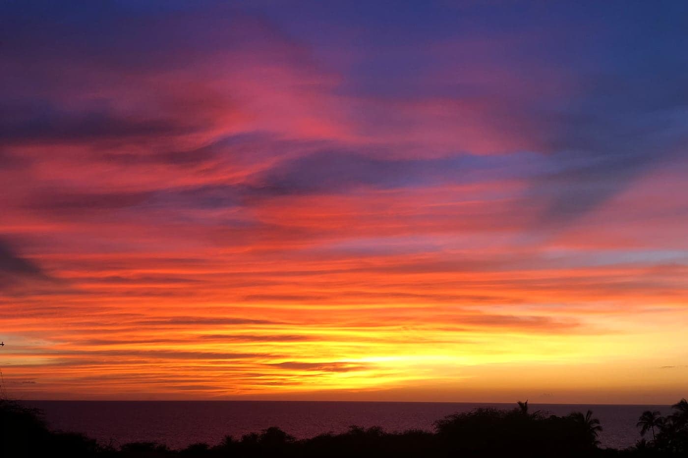
Kohala Estates sits alongside the gated communities on this coast but is not gated itself, which is a good part of its appeal. Lots are generally larger and the price of entry lower than behind the gates next door, while the view over the coastline is much the same. The setting is dry, open ranch country above the highway, kiawe and grass rather than tropical growth, with sunsets that run straight out over the water. It suits buyers who want acreage and a view without a private water company, a HOA or a gate to pass through. Houses are spread far enough apart that it never reads as suburban, and the whole neighborhood stays quiet. Kawaihae harbor is a few minutes south and Hawi about twenty minutes north.
Kohala by the Sea
Gated, seventy-three home sites of an acre or more between roughly 200 and 500 ft, most with ocean and coastline views.
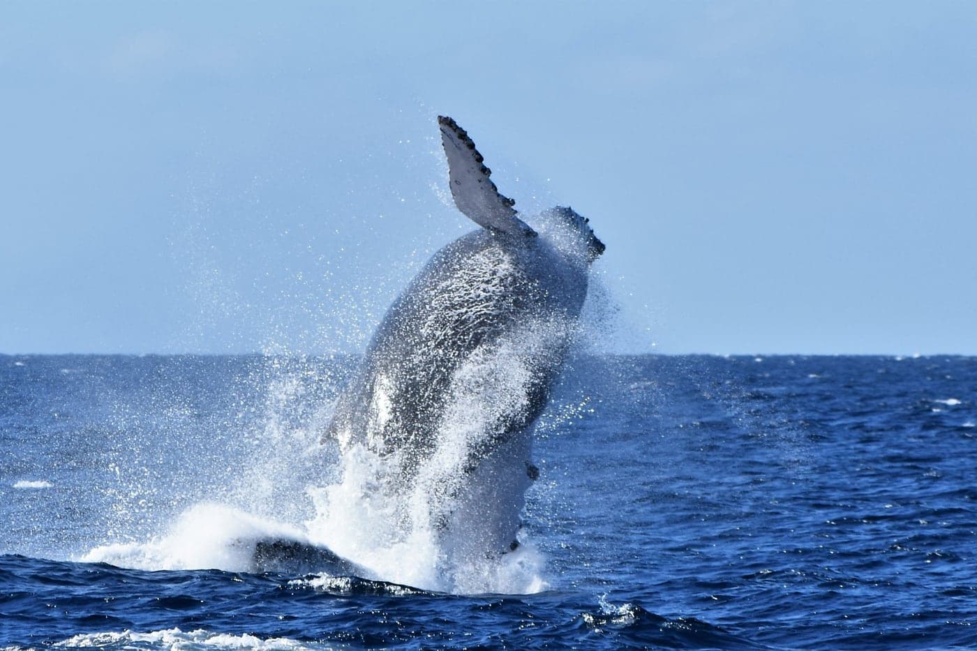
Kohala by the Sea is a small gated community of about seventy-three home sites, each an acre or more, sitting between roughly 200 and 500 feet above the water. That elevation is the entire idea: high enough for a wide, elevated view down the coast, low enough to stay warm the year round. Most parcels look straight out over the water, which through the winter months turns whale watching into something you do from your own lanai rather than from a boat. Like its neighbors it is served by the Kohala Ranch water system rather than county water. The landscape is dry ranch land, so a lawn is a decision rather than a default and many owners plant to the climate instead of against it. It is small enough that it stays quiet and that neighbors know one another.
Kohala Waterfront
The closest of the southern subdivisions to the shoreline, on the makai side of the highway.
Kohala Waterfront is the closest of these subdivisions to the ocean, on the makai side of the highway directly across from Kohala by the Sea. That puts the shoreline within reach on foot rather than by car, which along this coast is rare outside the resorts. The coast here is lava rock and small pockets rather than sand, so what you are buying is the water itself, the sound and the immediacy of it, not a swimming beach. Parcels are large, the community is small, and there is very little built around it. Sitting lower and nearer the water means full sun, warmth, and listening to whales sing. For a buyer who wants the ocean at the bottom of the property rather than in the distance, this is the address on this stretch.
Hawi
The commercial heart of North Kohala. Galleries, restaurants and a main street that is walkable in a way almost nothing else on the island is.
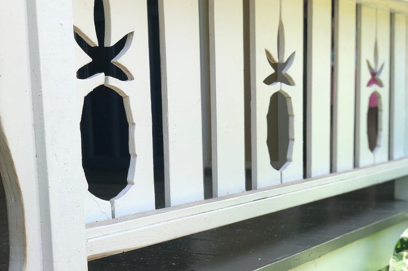
Hawi is the commercial heart of North Kohala and, together with Kapa‘au two miles east, the most densely populated part of the district, at about 2,270 people. It was a busy commercial center during the years of the Kohala Sugar plantation, and when sugar closed the storefronts along the main street were taken over by galleries, restaurants and small shops rather than boarded up. The result is a main street you can walk end to end, which is close to unique on this island. Once a year the town fills as the turnaround point of the Ironman World Championship bicycle leg, the northernmost point of the course before athletes ride back to the finish at Kailua-Kona. The surrounding country is green, wet and noticeably cooler than the Kohala Coast twenty minutes south, with old sugar land now returned to pasture. This is historic ground as well: the district is the birthplace of Kamehameha I and holds the Mo‘okini Heiau within the Kohala Historical Sites State Monument.
Kapa‘au
Home of the original King Kamehameha statue. Older plantation housing stock, larger agricultural parcels behind town.
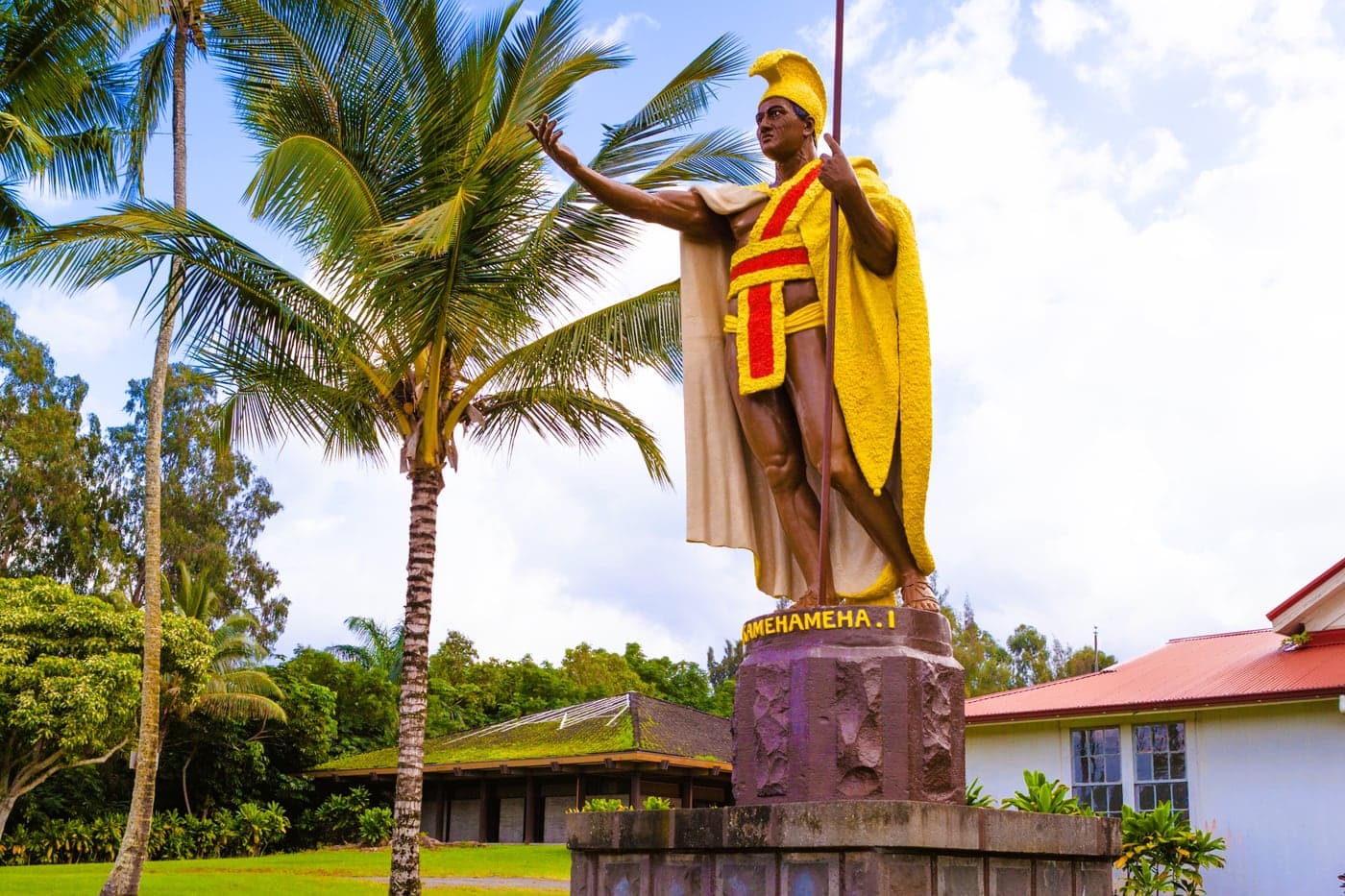
Kapa‘au lies two miles east of Hawi and is celebrated as the birthplace of Kamehameha I. The original King Kamehameha statue stands here in front of the old courthouse and remains the ceremonial center of the town, particularly on Kamehameha Day when it is draped in lei. About 1,700 people live in the surrounding area. Practically, Kapa‘au is where North Kohala’s public institutions sit: Kohala Elementary, Middle and High School serve the whole district from kindergarten through grade twelve, and the North Kohala Public Library is here too. The building stock is largely older plantation housing near the road, with larger agricultural parcels behind town, and prices reflect that mix. It is greener and quieter than Hawi, and the pace slows again.
Pololu / Niuli‘i
The end of the road. Ocean-view acreage, heavy rainfall, catchment water, and the valley lookout.
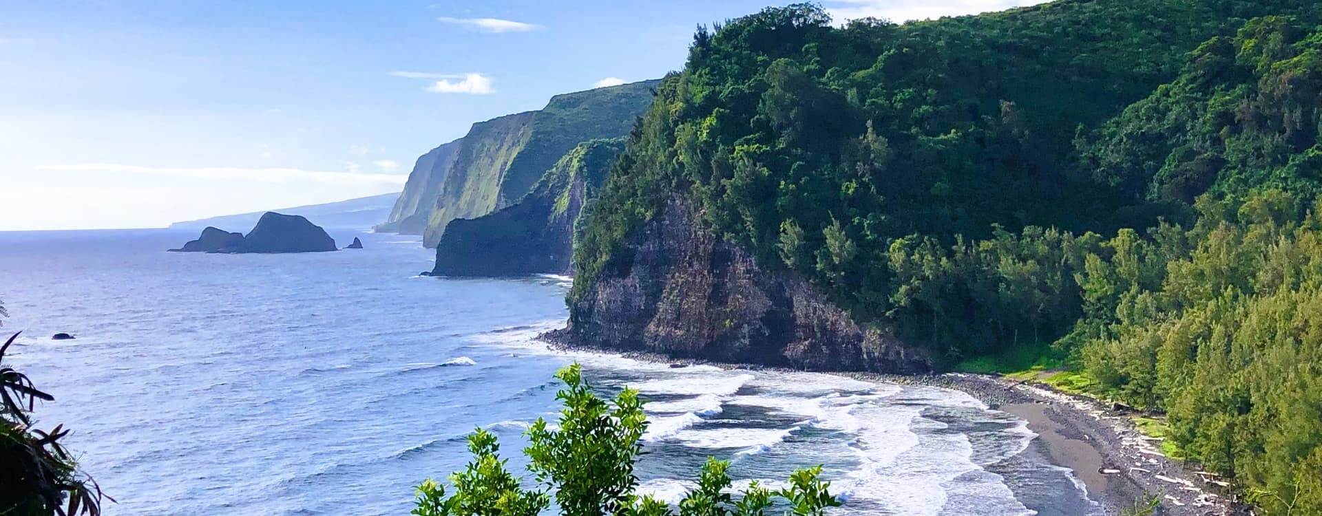
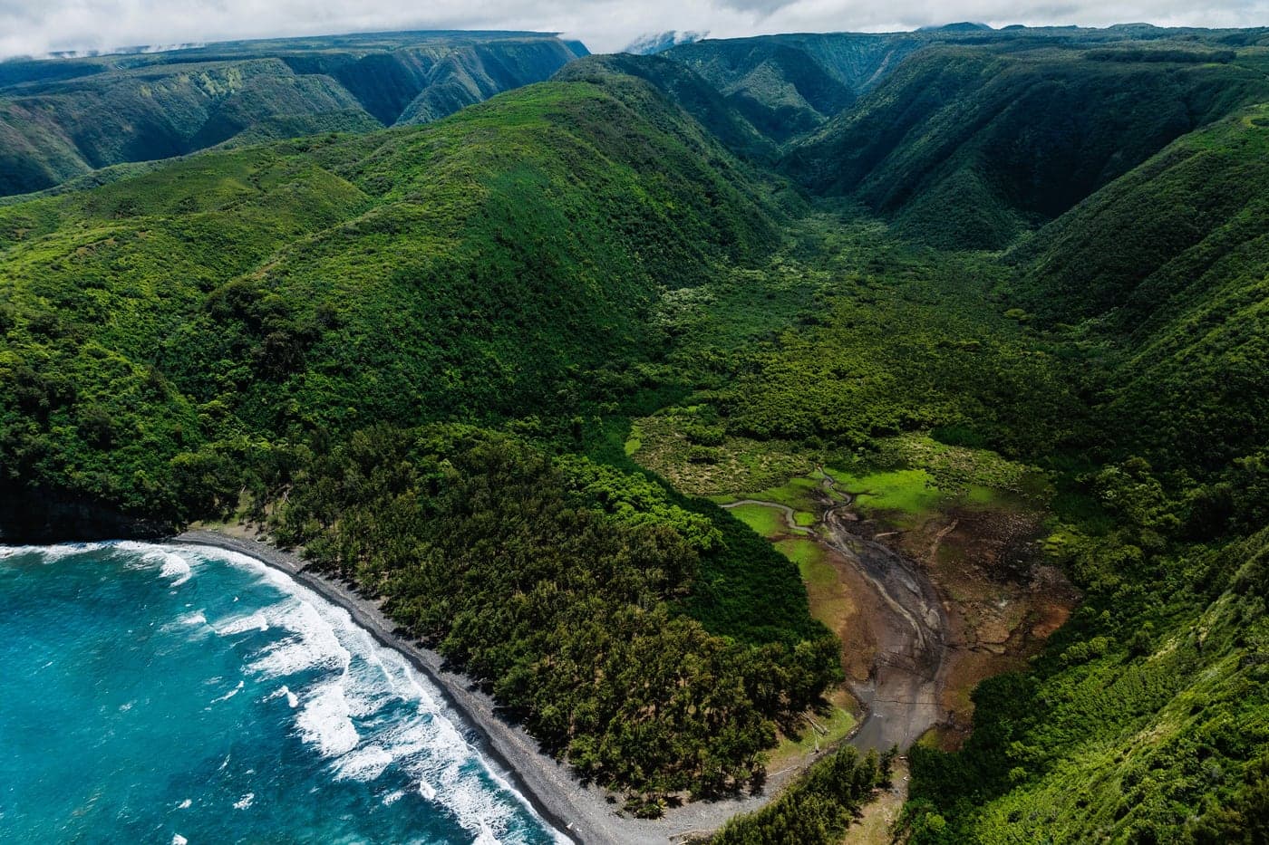
This is where the road ends. Highway 270 simply stops at the Pololu Valley lookout, and beyond it the coast breaks into a series of deep erosional valleys cut into the flank of Kohala, the oldest of the island’s five volcanoes. Pololu means long spear. Before European contact the valley was renowned for kalo, including a variety particular to it with crimson stems, and rice was added in the 1800s before cultivation fell away in the twentieth century. The Kohala Ditch, dug to carry water to the sugar fields, still runs along its walls. Niuli‘i and the land around it is ocean-view acreage with heavy rainfall and catchment water rather than county lines, and a genuine sense of remoteness that is hard to find elsewhere on the island. A steep trail drops from the lookout to the black sand beach below, and the view from the top is the one people drive the length of the district to see.